FLUD

FLUVIAL LANDSCAPE DYNAMICS RESEARCH GROUP
Determining Flow Conditions for the Activation of subchannels in an anabranching River in Texas

Lead Author
Dion Webster

Advisor
Dr.Inci Guneralp
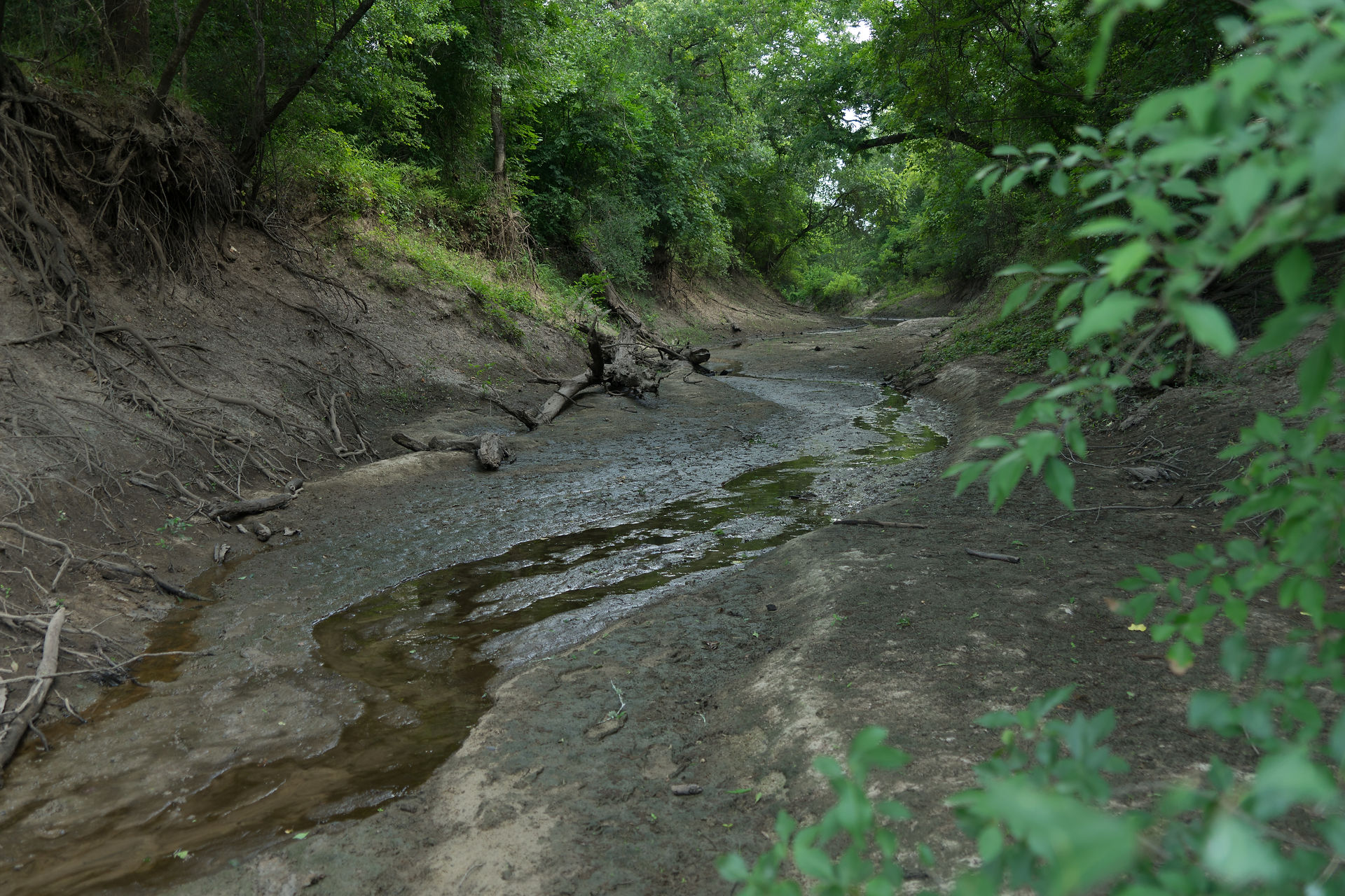
Anastomosing rivers are multichannel systems characterized by a definitive main channel and semi-permanent sub-channels that intertwine with the main channel in their planform. This semi-permanence of the sub-channels is largely associated with flows that have been recognized to be fed by overbank flows from the main channel. The Navasota river on the coastal plain of Texas is an anastomosing river with ephemeral anabranches dependent on main channel over bank flow. This study determines the river stage at which the main channel becomes laterally connected to three anabranching channels by surface water. The chosen study site on the Navasota is located downstream of U.S. Geological Survey gaging station 08110800 at Democrat Crossing road at 770,228.34E 3,412,058.01N m UTM, and will monitor the interactions of three downstream anabranches within a .5 kilometer radius. Focusing on a small area will ease data collection constraints. Lateral connections between the main channel and sub-channels are determined using a two-dimensional hydrodynamic model that was developed using a LiDAR-based digital terrain model and calibrated/validated using acoustic and topographic surveys conducted in the field. Preliminary analysis suggests there are 3 stages of connection, exclusively the main channel, lower level anabranch connections, and upper level anabranch. The riverine landscape of the Navasota River shelters high levels of ecological diversity and surface water connections within a river reach can impact the overall health and evolution of riverine ecosystems. This project provides a case study to promote knowledge of the flow dynamics of anastomosing geomorphology and water resource management applications within and upstream of the study site to help mitigate flooding hazards and help manage the riverine ecosystem.


